The Curtis Clearing, as it is called, is not one clearing but two or more clearings in the Adirondack Forest Preserve in the far west reaches of the Town of Johnsburg, New York. Likely established around the time of the Civil War, the Curtis Clearing got its name from two home sites built about a half mile apart by the brothers Norman and Lebbeus “Leb” Curtis near the Sacandaga River three miles or so from the road linking the small hamlets of Wells in Hamilton County and Bakers Mills in Warren County. Out of the way even back in the late 1800’s when it was occupied, the brothers were far removed from everyone except the families of the two brothers who lived with them and loggers, gummers, and the like who used the path the brothers maintained to reach the forested regions beyond, including the Siamese Ponds area.
My own interest in the Curtis Clearings is a complicated narrative far beyond the purpose of this article, but it centers on my great grandmother, Amazetta Curtis, or Zetta as she was called by family, who was the third of four daughters of Norman and Eliza Millington Curtis who lived at the Curtis Clearing at least by 1870 when she was eight years old. My purpose in this article is to explain as best as I can how to find the homesites of Norman and Leb.
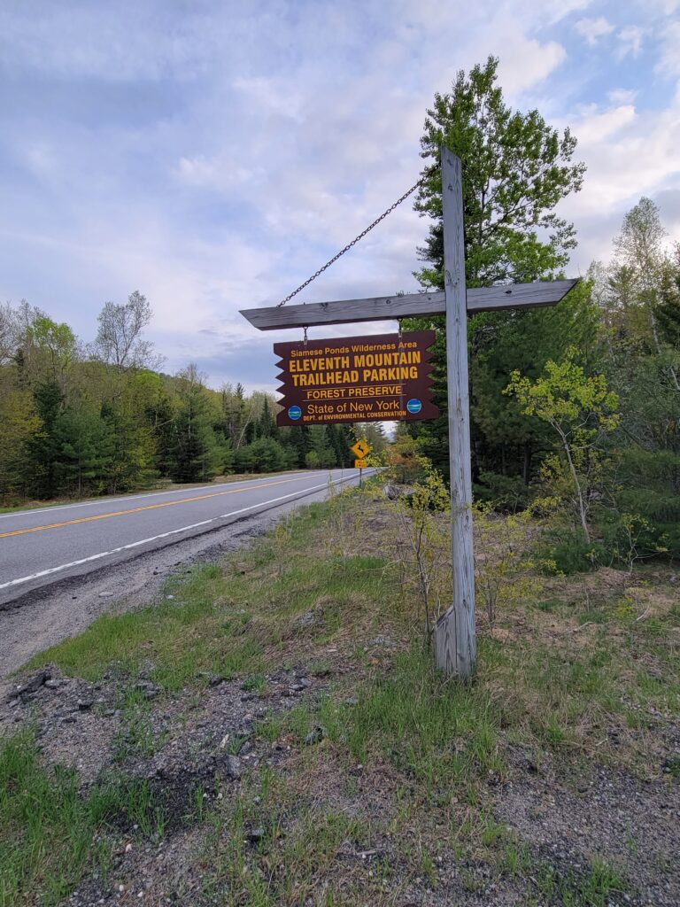
The entrance to the path to the Curtis Clearing is on NY Route 8 about a little less than four miles southwest of Bakers Mills, New York. The parking lot for the trailhead is a large half circle gravel lot just off the road. There is a sign on the road which says Eleventh Mountain Trailhead Parking – Siamese Ponds Wilderness Area. Another small sign toward the back of the lot reads Eleventh Mountain Access and marks the entrance to the trailhead. A short distance from the entrance is another sign which reads Siamese Ponds Wilderness. This sign has a voluntary sign up sheet for those using the trail and also clearly states that bicycles and motorized equipment, which includes drones, is prohibited. The path is pretty clearly visible to the left as you’re facing the second and third signs.
I did not have this map when I first went to the Curtis Clearing but it shows the basic trail, marked as “XC Ski Trail.”
The early part of the path is a typical maintained forest trail and clearly marked. Throughout, until our trail crosses the Sacandaga River, the trail is marked by round little blue trail markers such as seen in this picture below
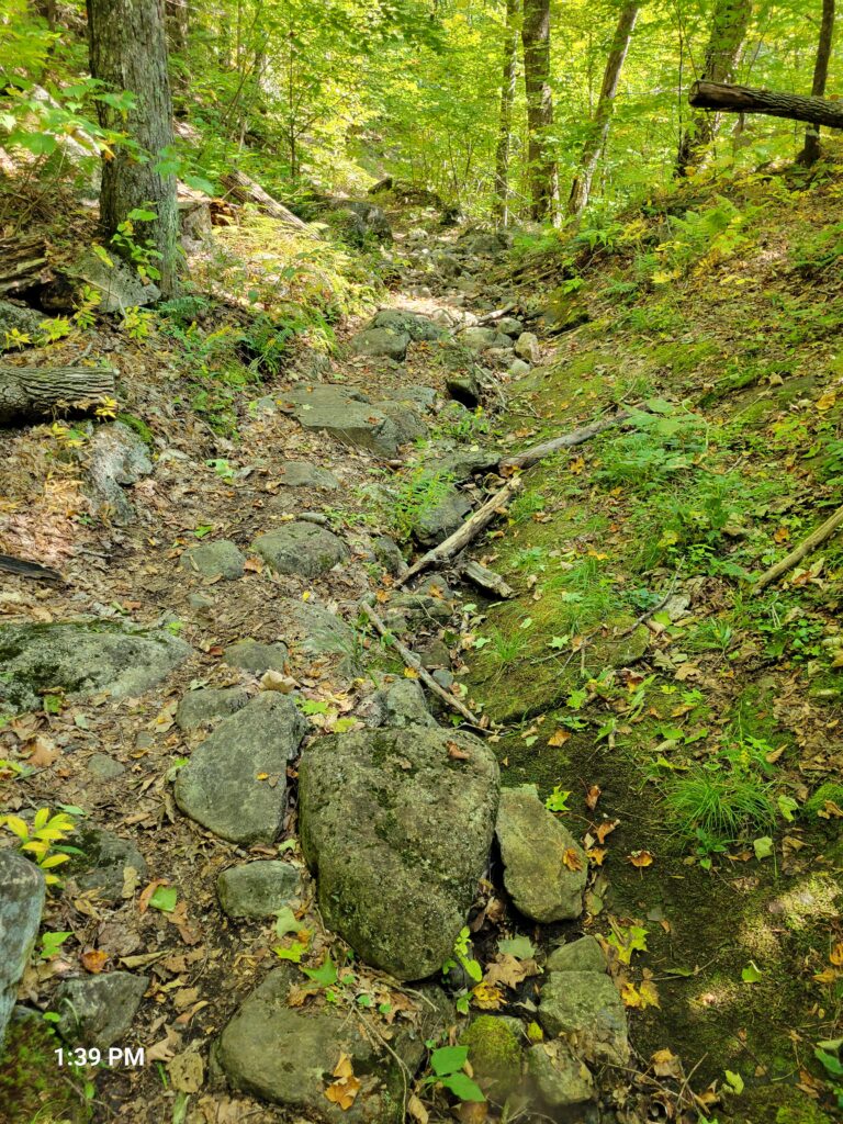
One of the most difficult sections of the trail comes in the first half mile or so as the trail ascends up a rocky ravine of sorts.
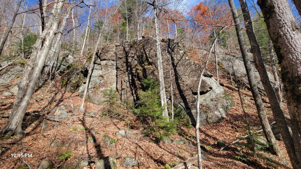
During this early section of the trail large rocks on the side of I believe Eleventh Mountain are visible of the right-hand side of the trail.
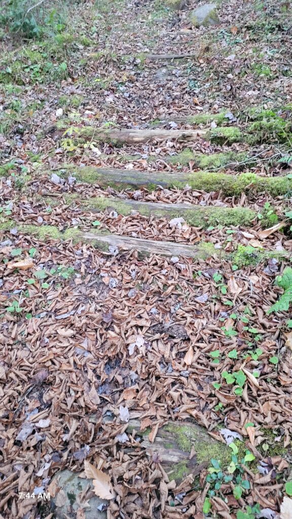
A few small sections of the trail were covered with logs such as shown below, but not many.
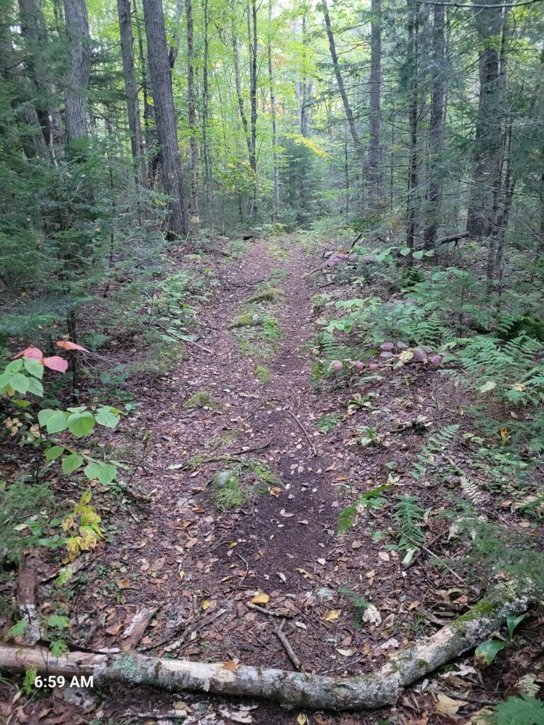
Much of the trail was clearly made for wagons as reports from as recently as the mid-1900’s state that wagons were used to move campers in and out of the Curtis Clearing. Below is one of the sections that show the wagon trail.
In other places the transition between a wagon trail, with the characteristic two-wheel ruts with a patch of grass in the middle, to a single path is visible. My assumption is that once wagons were no longer using the trail in time one of the two wheel ruts was chosen by hikers and the other just became overgrown. A blue trail marker is visible as well.
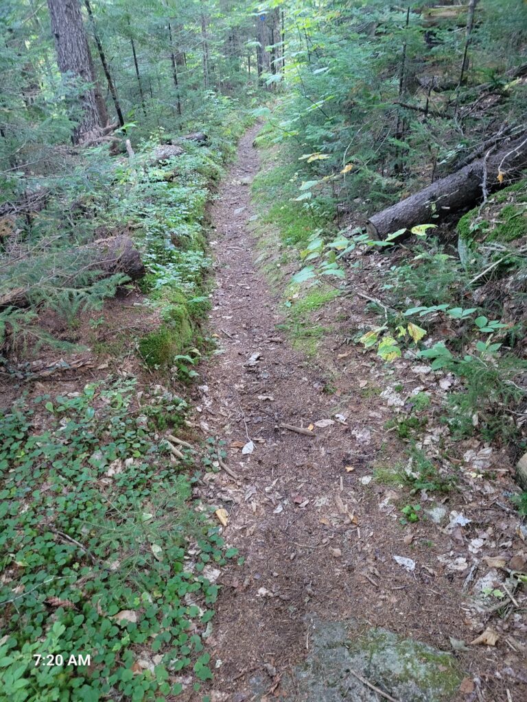
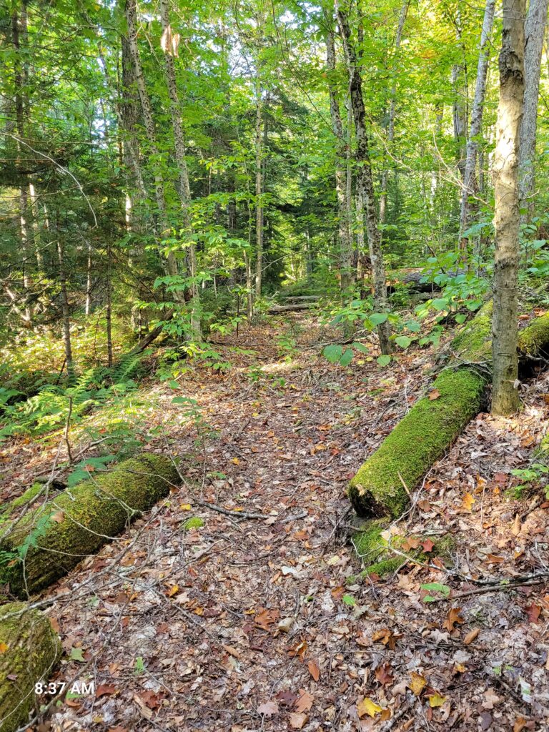
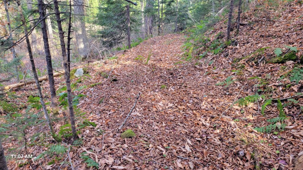
Most of the path is single file as shown below.
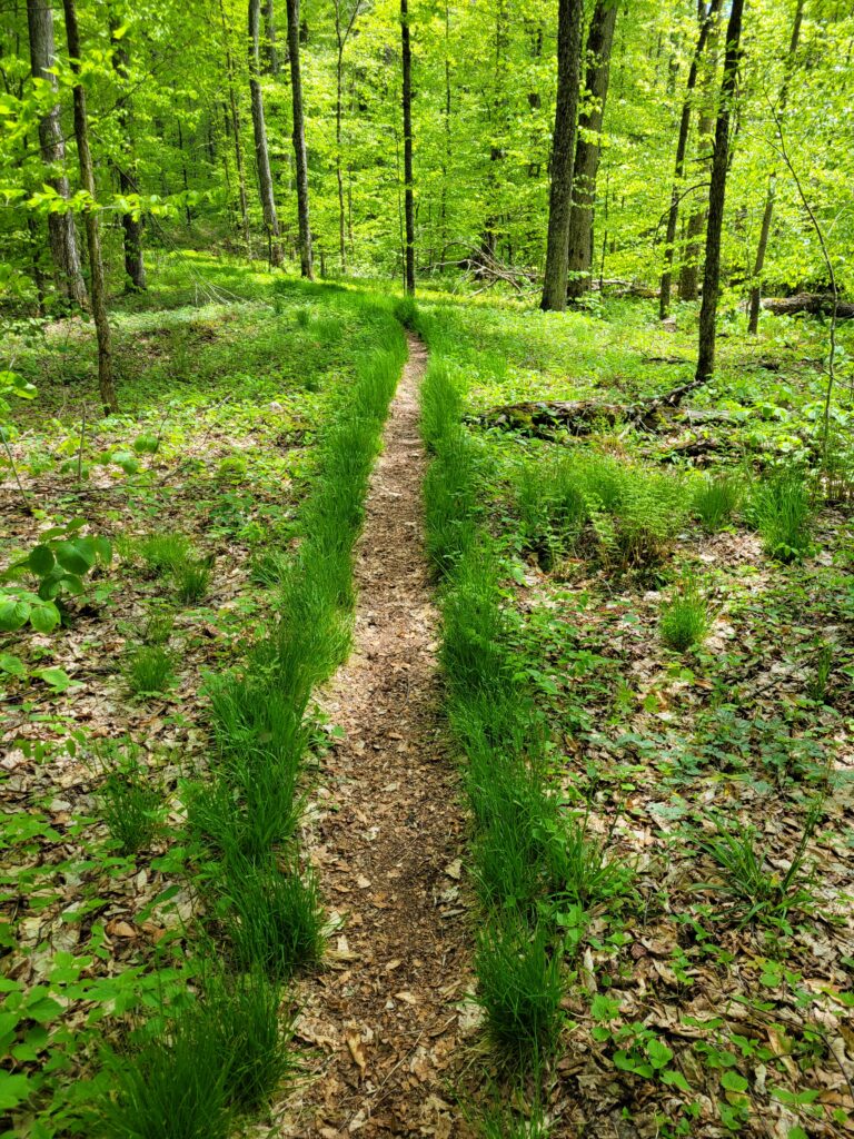
I thought this was a rather strange looking grass lined section of the trail.
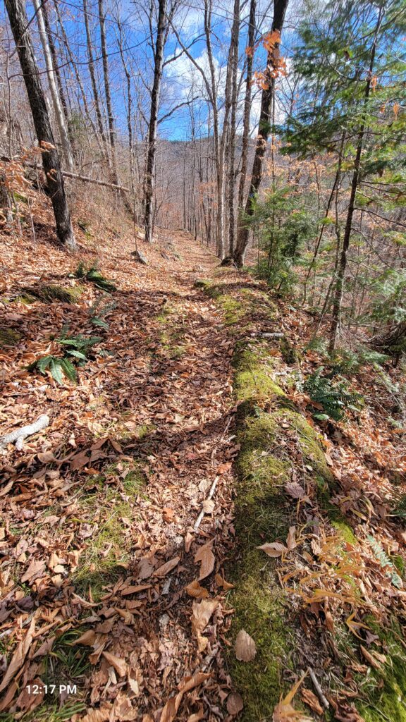
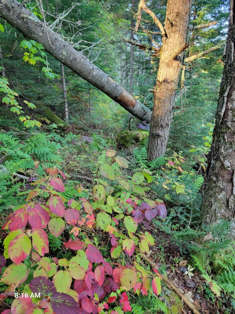
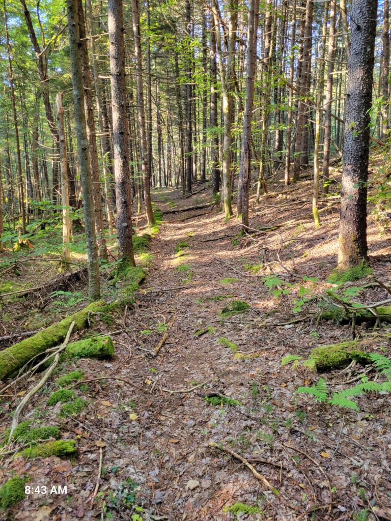
Part of the trail as it looked in the fall of 2024 when I went.
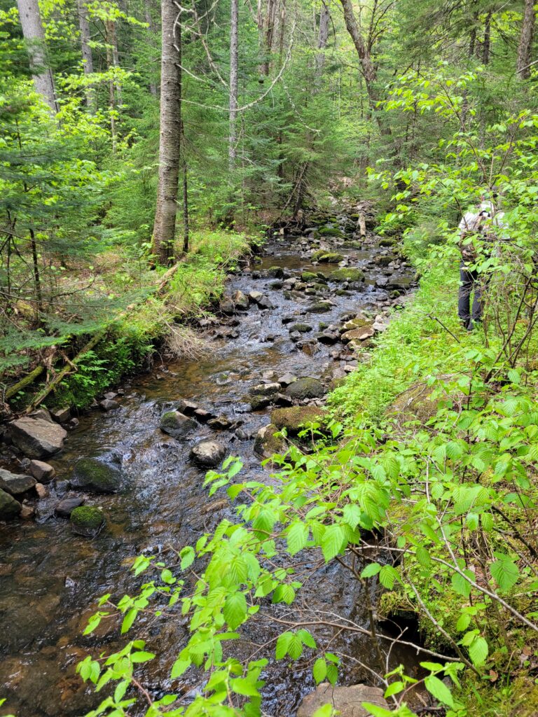
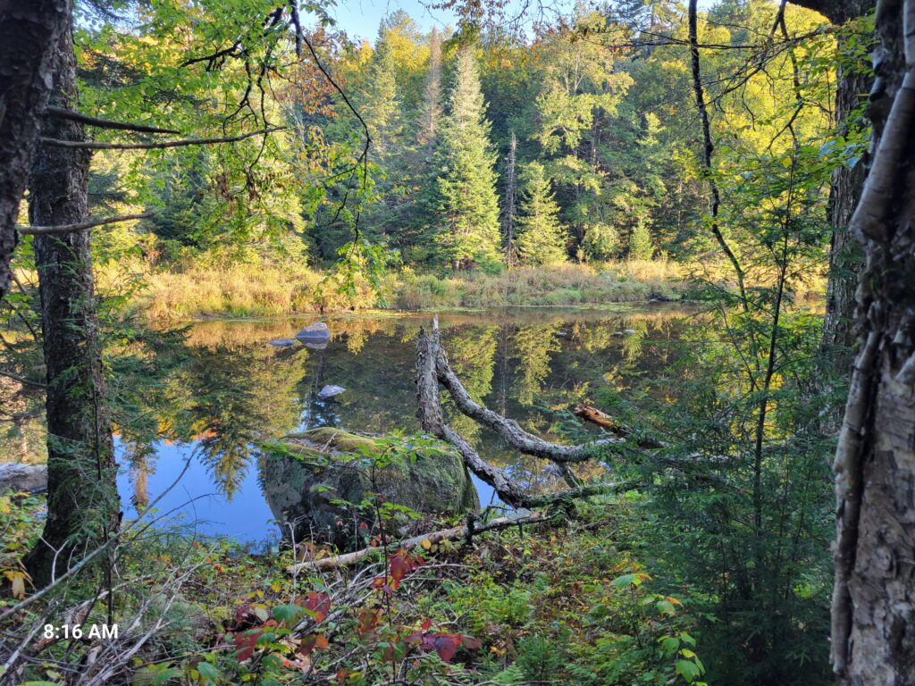
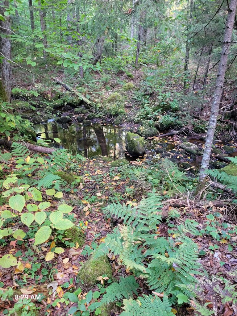
One section of the trail is over the top of a beaver dam on one of the small creeks that feed the Sacandaga.
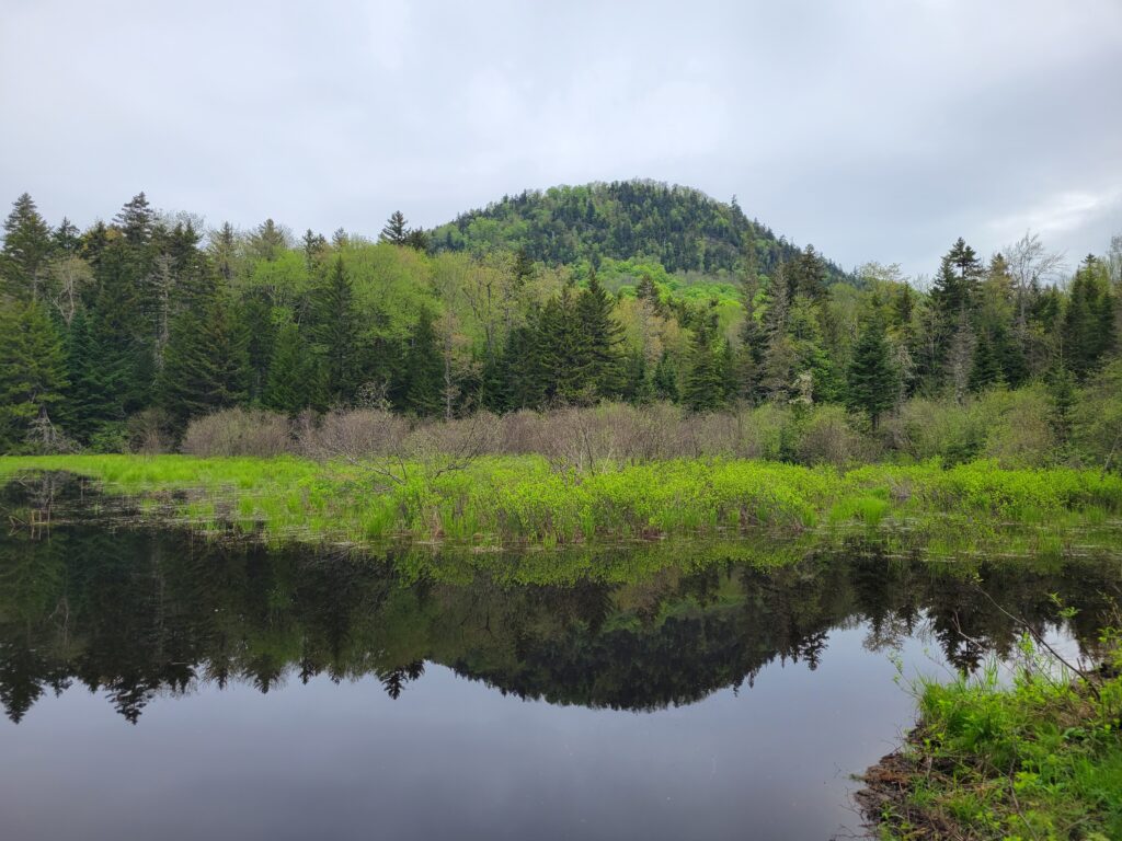
View of the pond formed by the beaver dam with the mountain in the background.
I believe this is the view after crossing Diamond Brook on the left as you look toward the Sacandaga. On the far left is the small log bridge which had been knocked down the first time I came by and was sitting on the shore but when I came by the next time it had been repaired and placed for crossing the brook.
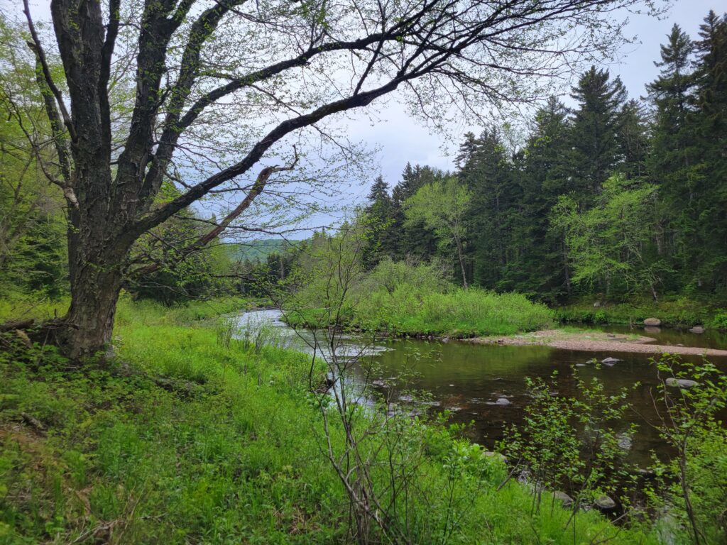
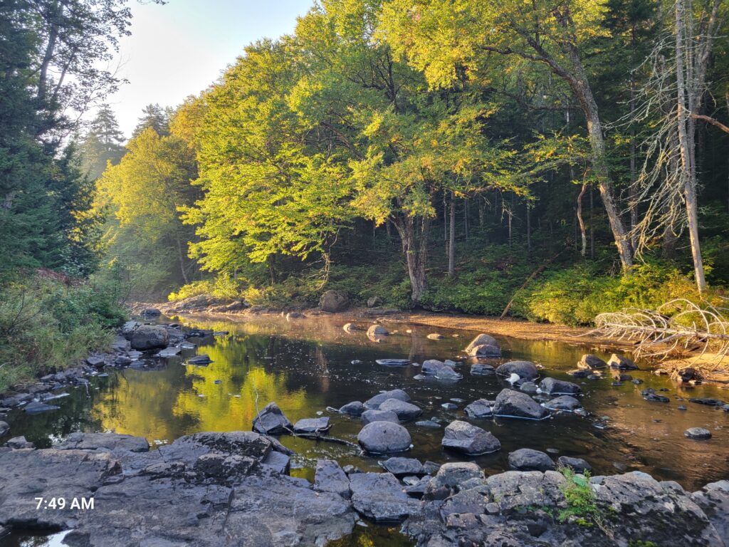
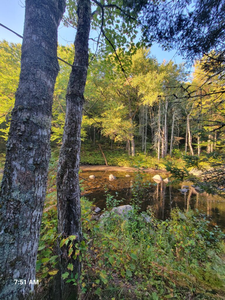
About two miles into the hike the trail roughly follows along with the Sacandaga.
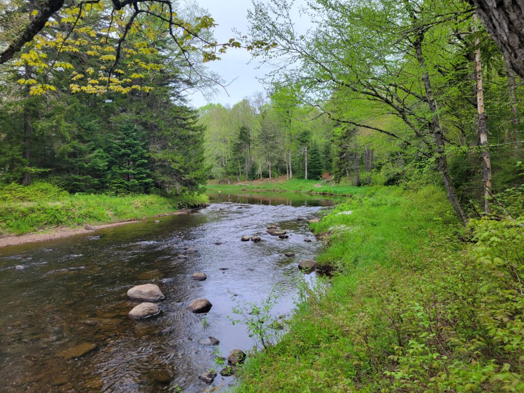
Another view of the Sacandaga from just off the trail.
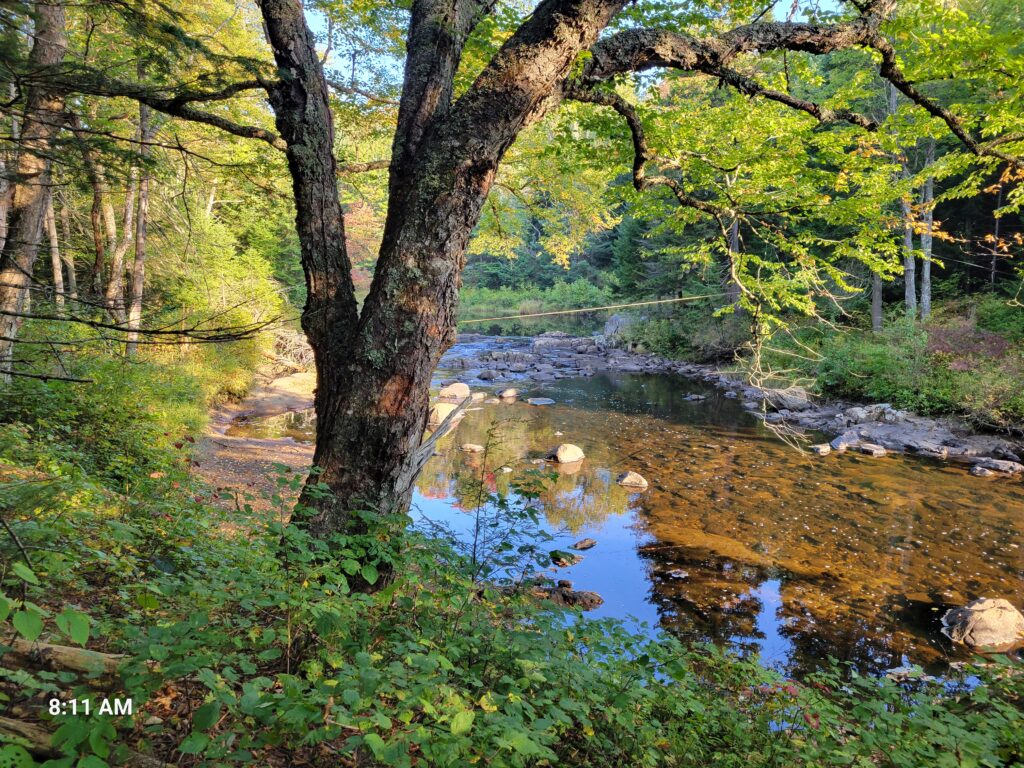
The first time we tried to find the Curtis Clearing our plan was to go to where the Curtis Brook meets the Sacandaga and then follow the Curtis Brook up to find the clearing. Below along the left you can see where the Curtis Brook empties into the Sacandaga.
The Curtis Brook as it appears just after crossing the Sacandaga.
Following the Curtis Brook into the woods in an attempt to find the Curtis Clearing.
This effort proved to be extremely difficult. The forest, although it had been clear cut in the late 1800’s, probably more than once, was dense and the ground really soft. Bushwacking through this area proved to be slow and exhausting we ultimately turned around.
I found the map below prior to making third attempt to find the Curtis clearing, my second attempt having failed like the first. The key was that the crossing to the trail is actually some distance, maybe a couple hundred yards, prior to where the Curtis Brook empties into the Sacandaga. The blue line in the upper right-hand corner is the Sacandaga. The light grey hashed line is the trail from the trailhead. The blue line directly under the words “Curtis Clearing Trail” is the Curtis Brook. I couldn’t really locate the “XC Ski Trail” on the hashed line indicated but I did find the crossing by referencing this map. The black line as drawn by me is the trail as best as I could draw it. The little “N” is Norman’s homestead, the “L” Leb’s homestead, and the “W” the well by Leb’s homestead. Norman’s homestead overlooked the clearing to the south and Leb’s the clearing to the north of their respective homesteads.
Best place to cross the Sacandaga. This is not visible from the trail and you have to go about 50 to 100 feet through the woods, without a path, to find it but it is at a noticeable bend in the river. Very faintly on the left-hand side about halfway down in the picture you can see one of two lines that were stretched across the river at this point, possibly to pass supplies across in high water. I walked across the river on the rocks in the foreground to that little beach area.
On the second tree from the left, you can see a line coming from the left which braces the tree and then a little lower one of the lines which crosses the Sacandaga.
View of one of the two lines from the opposite side of the Sacandaga.
As soon as you cross the Sacandaga if you go up the hill you’ll see the trail as you go right while facing the shore as it follows the Sacandaga briefly at this point.
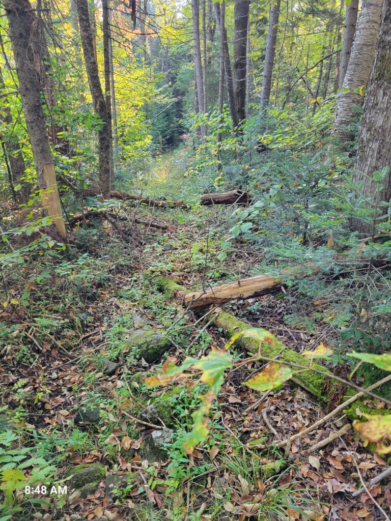
The trail is fairly visible and unobstructed but unlike on the other side of the Sacandaga it is not kept up and there are obstructions, such as here where a tree has fallen over the path and not been removed.
As said, for a short distance the trail from the Sacandaga to the Curtis Clearing still follows the river.
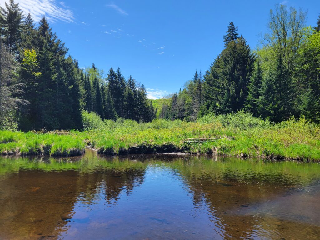
A short distance later the trail goes farther away from the Sacandaga but there are a number of marshy and swampy areas.
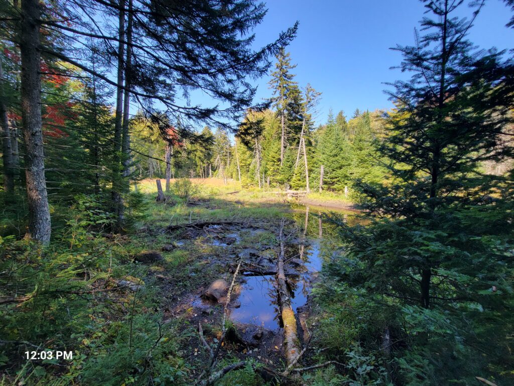
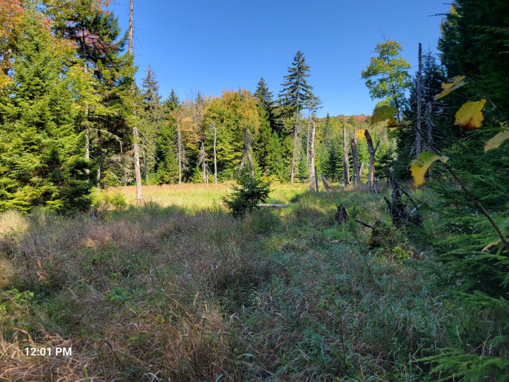
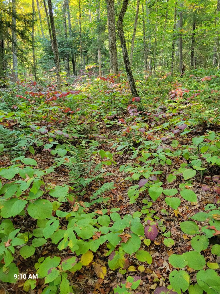
Some of the areas near the Curtis Clearing look very much like overgrown farmers’ fields and appear as if you can walk across them. Some of these can be walked on, but most are basically marsh and if you’re not careful, or even if you are, you can find that your foot has sunken up to your knee in mud. Better to stay off these areas or at least be very careful.
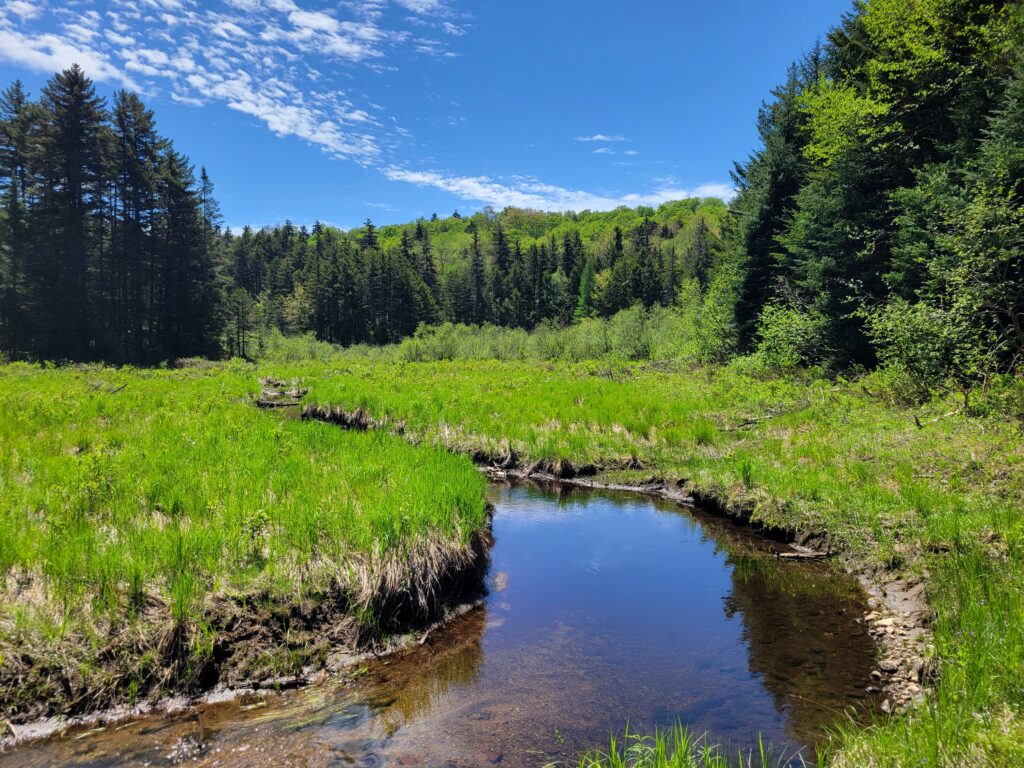
A small brook that crosses the path after crossing the Sacandaga but before the Curtis Clearing that is not the Curtis Brook.
Another view of obstructions along this section of the trail.
Rough part of this section of the trail.
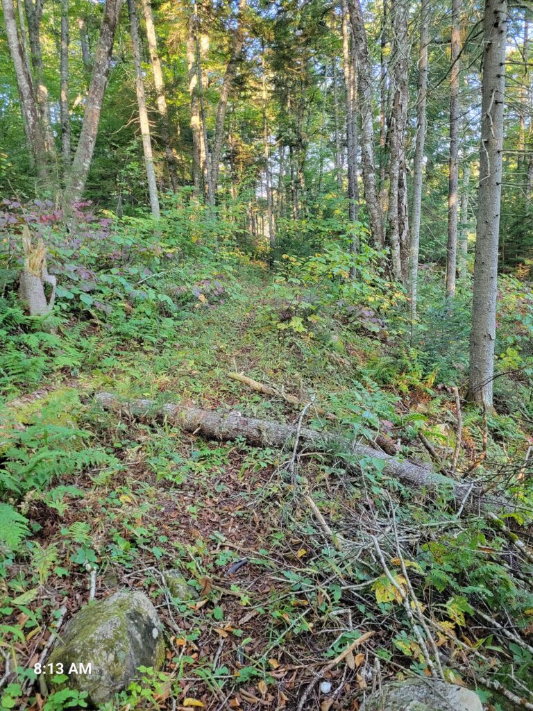
Even in this section of the trail you will find parts which were clearly wagon paths, mostly in the denser sections of the forest where the undergrowth is less.
While walking the trail it is clear, especially when I went in the fall, that a great deal of work, skill, and care went into creating even this part of the trail to the Curtis Clearing a hundred plus years ago, likely by Norman and Leb themselves. Photographing it is difficult but in person you can see where the side of the hill was leveled off and a berm created so that a wagon could pass without fear of tipping over.
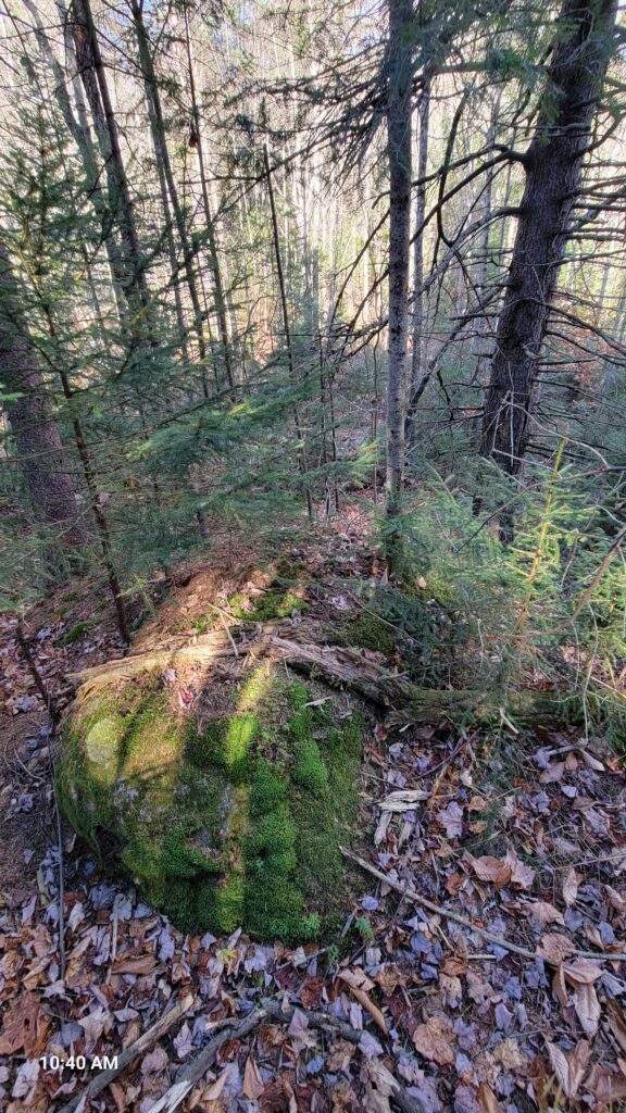
Large moss covered stone along the trail just before crossing the Curtis Brook, marker to look for crossing point. I wish I had a better picture but I don’t right now. The trail continues past the Curtis Brook so if you notice the trial moving away from the Curtis Brook you know you’ve gone too far.
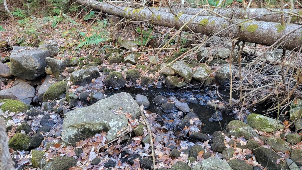
Curtis Brook about 10 to 20 feet before the crossing point. I believe this is the place where Norman had his sawmill. Again, very difficult to see in the picture but there appeared to be a stone ledge and wall at this point to funnel water for Norman’s sawmill. I found other evidence of some sort of mill nearby as well.
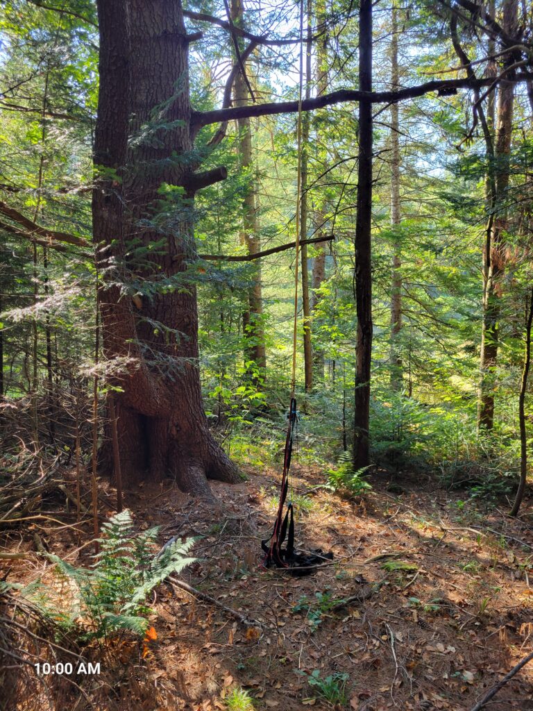
After you cross Curtis Brook the path goes up a slight incline and continues on a ridge. At the top of the ridge, immediately to the left of the trail where the trail levels out is this campsite which I am almost certain was at one time Norman’s homestead.
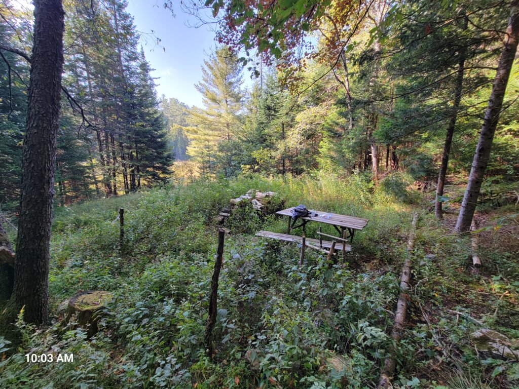
This picture was taken during the fall but it gives a little better idea of what the view would have been from the homestead. When Norman’s family was living at the homestead the clearing beyond those small trees would likely have been very visible.

Hunters still regularly use this campsite as evidence by the harness used to raise deer into the tree to thwart bears.
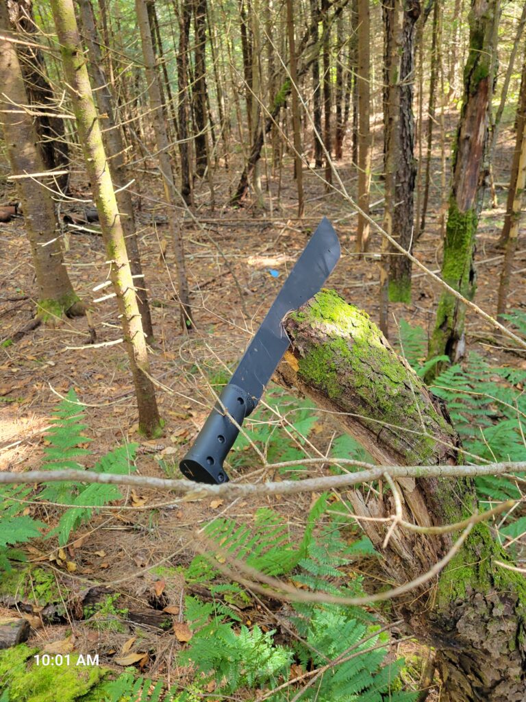
A knife, among other items, left at the campsite.
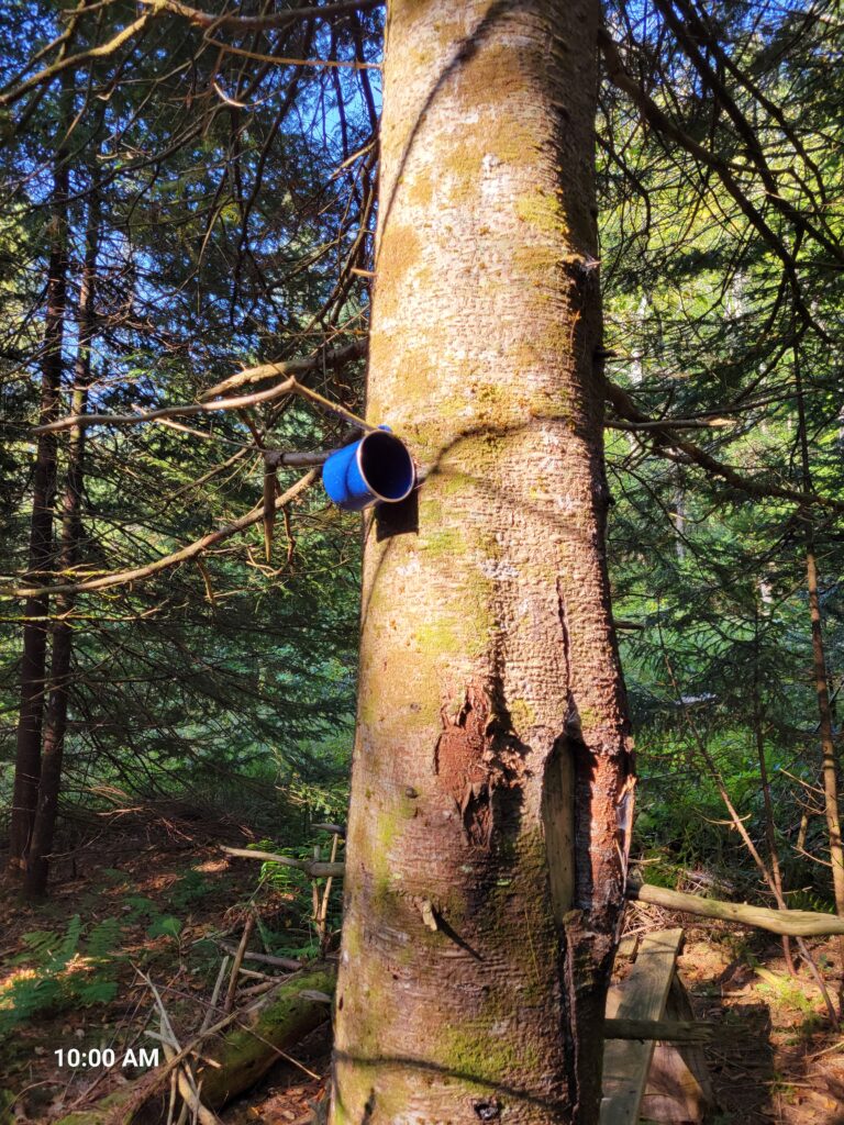
Cup stuck in a tree.
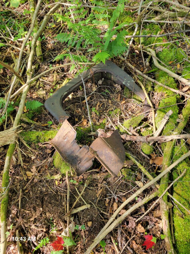
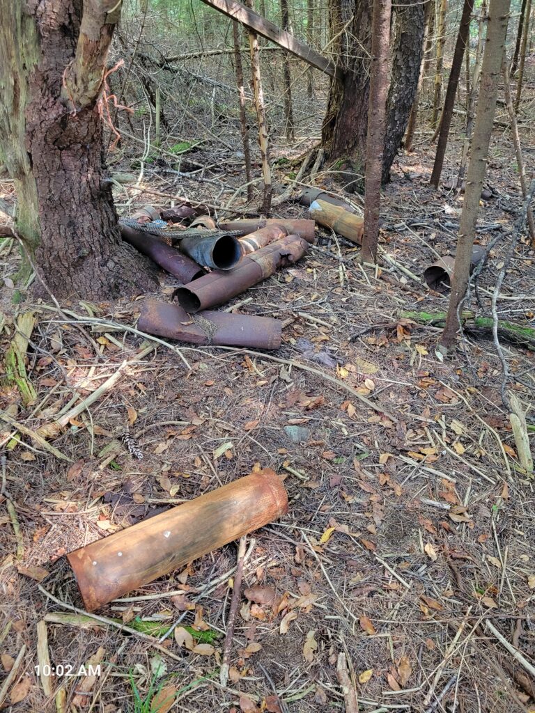
Sold old exhaust pipe likely from a more permanent campsite at this location prior to World War II.
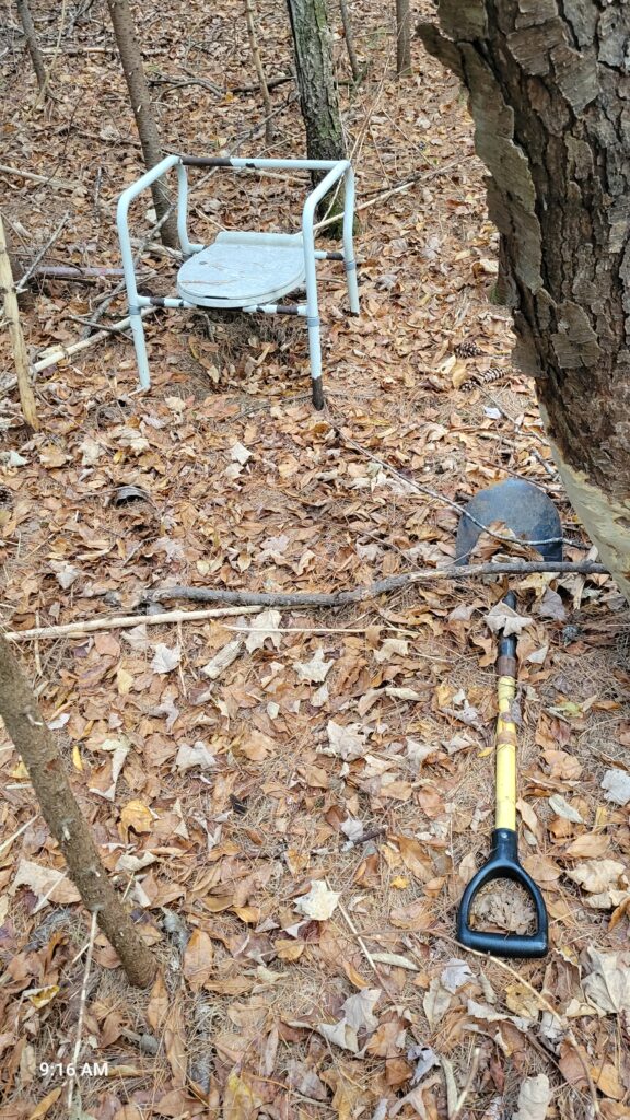
Hunter’s bathroom a little off the campsite.
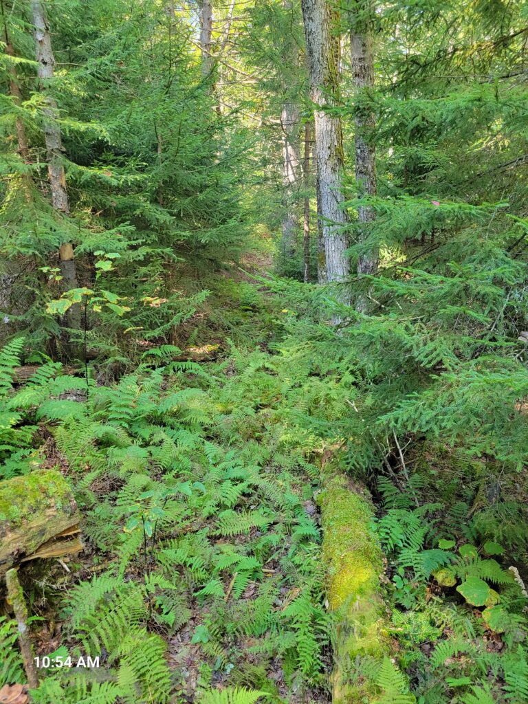
The trail from Norman’s homestead west to Leb’s homestead is in places very rough because of the lack of regular foot traffic and ample undergrowth.
Another view of this section of the path.
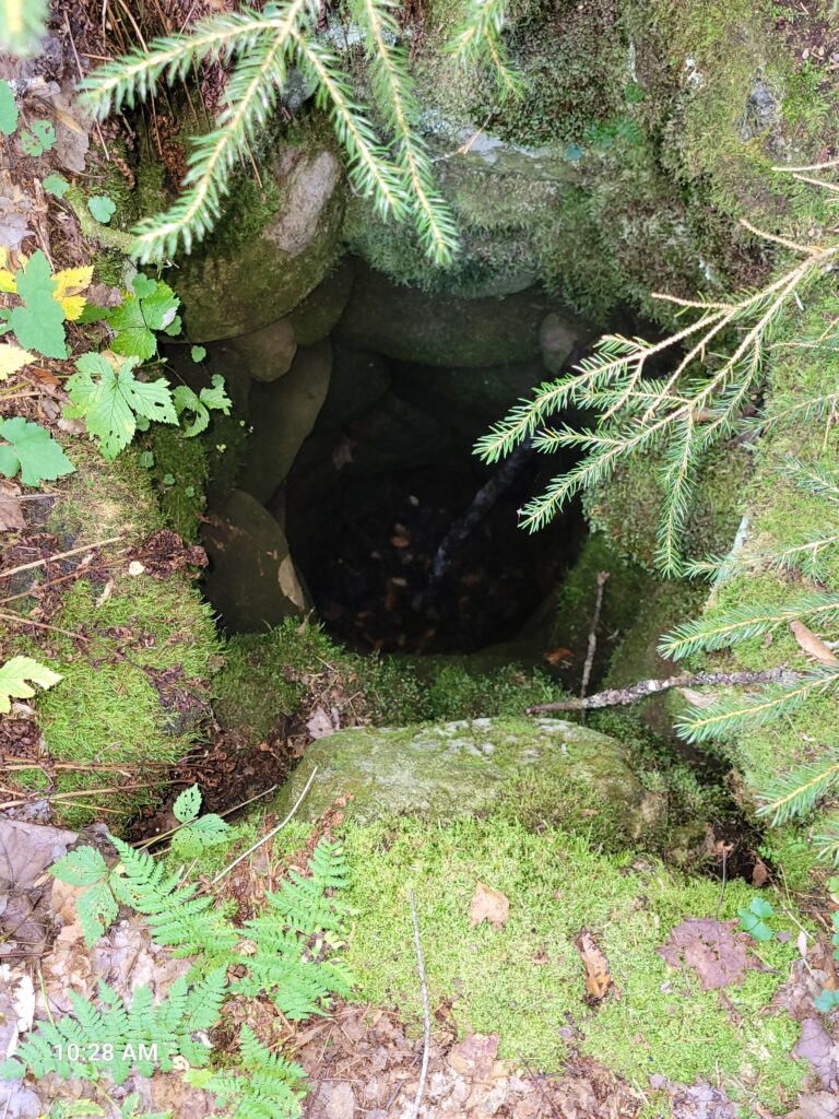
I stopped where the trail seemed to end and was about to give up finding Leb’s homestead when I looked down and a few feet from me saw the well.
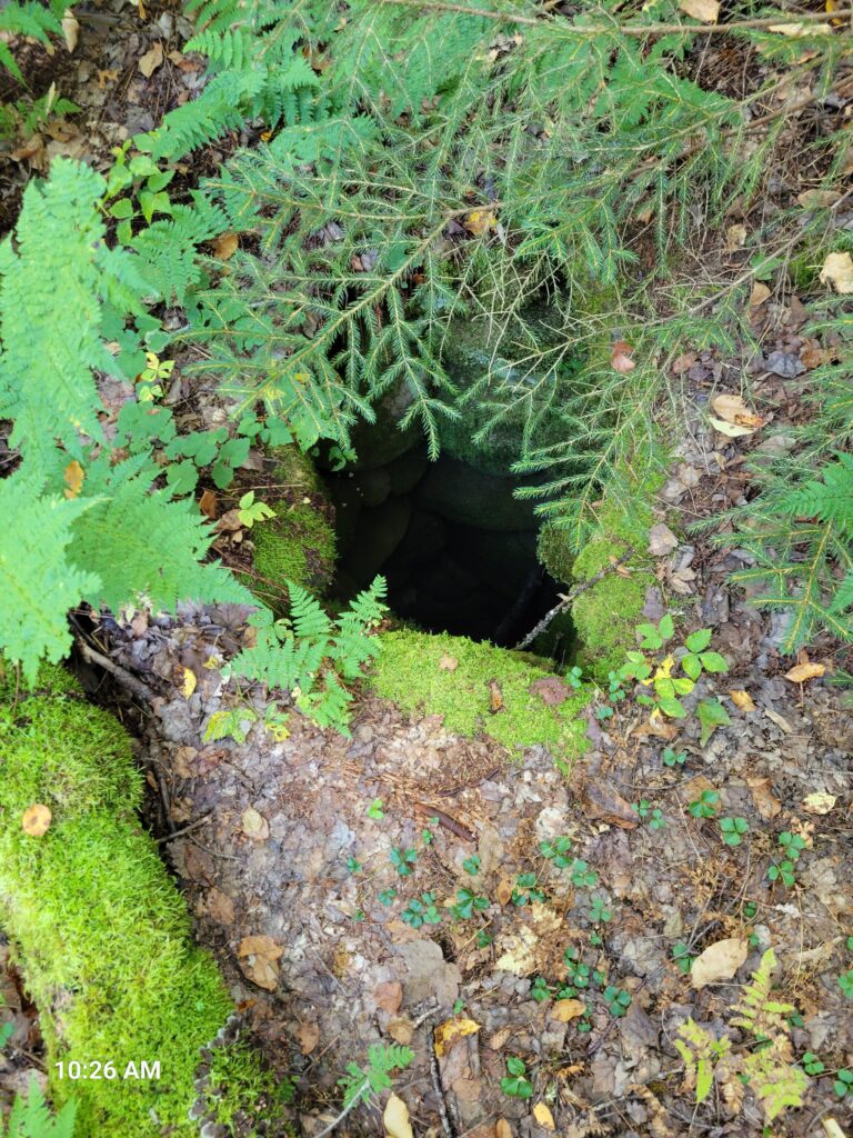
Another view of the well showing the workmanship of the stone sides.
Another instance of the photos being not especially clear but in person it is very clear that this is part of the stone wall of the cellar at Leb’s homestead. The cellar is very overgrown, but it is clearly the shape and size of what would be expected for a cellar in this area and the walls in the depression are lined with stone, albeit in very bad shape.
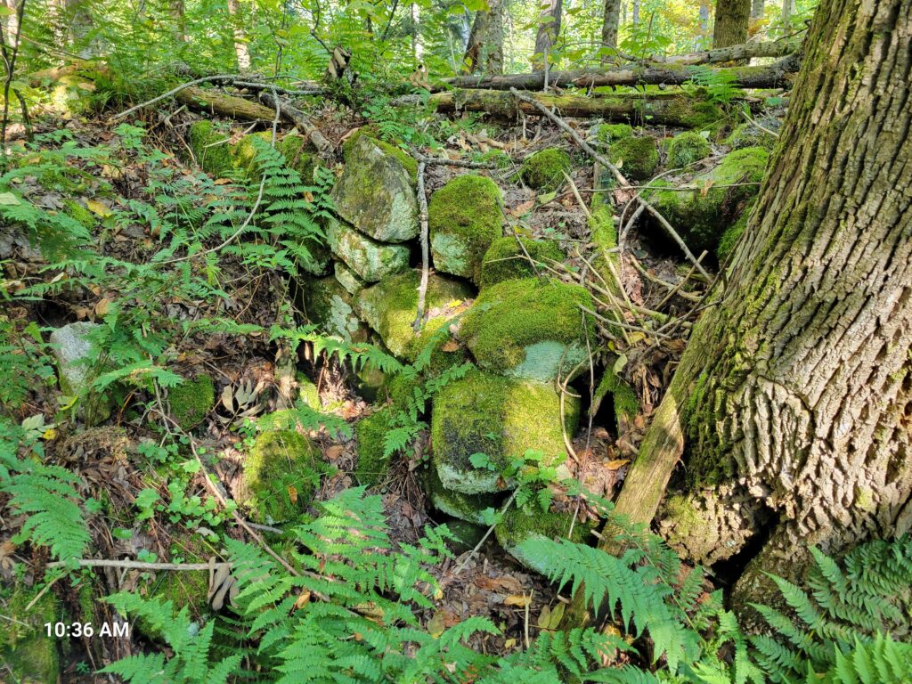
Other piles of stones are found throughout the immediate area, the purpose of which is unclear but they do not seem to be naturally formed.
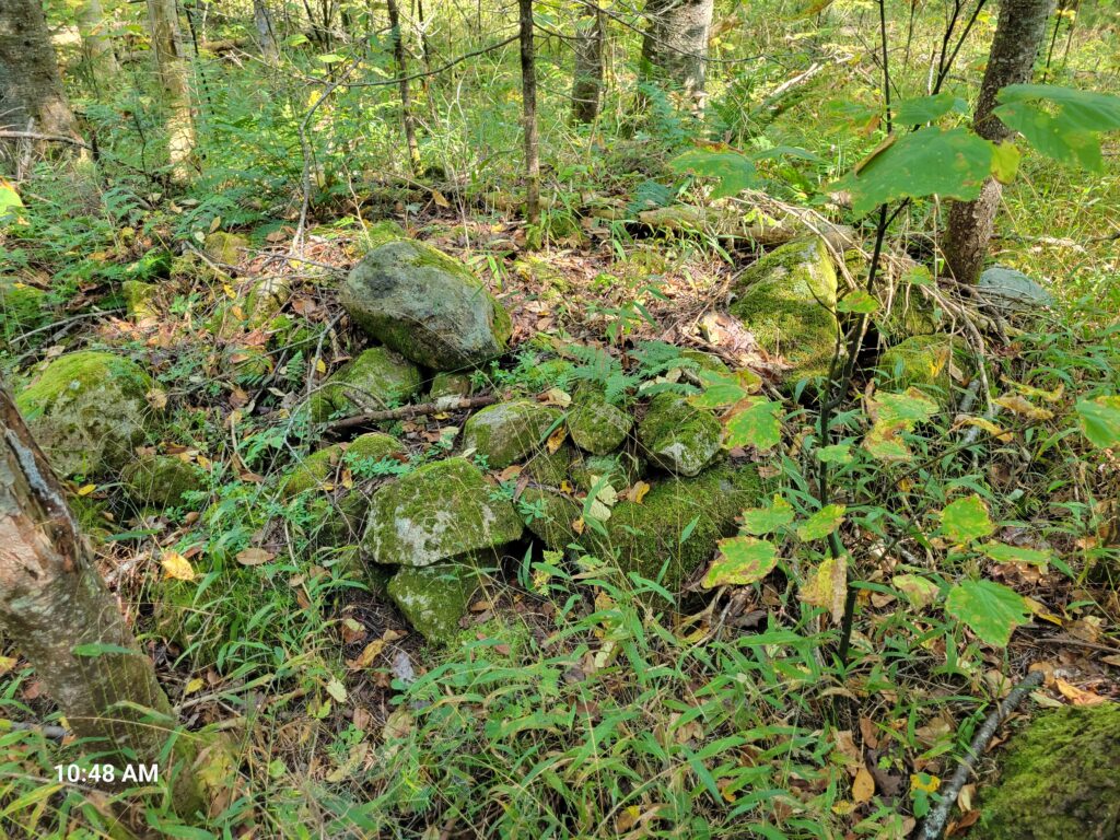
Like Norman’s homestead, there is debris scattered about Leb’s homestead, but it seems older and less plentiful.